.png)
UKPMS-compatible pavement inspection, Sec. 58 defensibility evidence,& DfT compliance reporting for National Highways, 152 LHAs & devolved networks.
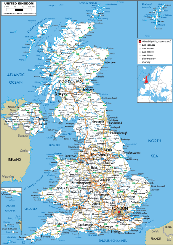
National Highways manages the Strategic Road Network with well-resourced HAPMS data — meanwhile 152 LHAs manage 98% of the network with survey budgets that cannot stretch to annual SCANNER coverage. RoadVision AI closes that gap at 80–90% lower cost through AI road condition monitoring UK and a unified UKPMS road asset management platform.
Outputs are built for UK practice — not adapted from international models. Every metric, threshold, and report format is configured to the relevant UK or devolved framework.
Network-scale IRI and rutting depth aligned to DfT road condition data thresholds for annual statistical release. Principal and non-principal road returns automated from live condition data.
CVI, DVI, BV224, and IRI generated from dashcam or LiDAR — UKPMS-formatted for direct LHA submission and integration with existing PMS platforms.
Inspection frequency and defect identification aligned to the Code of Practice — supporting Section 58 defensibility and S151 officer asset reporting.
Condition outputs compatible with National Highways' Highway Asset and Performance Management System for Strategic Road Network monitoring.
Condition outputs configured to Transport Scotland SCOTS framework and Scottish road network management requirements — separate from England DfT returns.
Condition reporting aligned to Welsh Government National Maintenance and Development framework — distinct IRI thresholds and asset management requirements applied.
High-collision location identification aligned with iRAP 5-star methodology and UK Road Safety Statement 2.0 targets — supporting LRSP submissions and Safer Roads Fund applications.
Each agent configured to UKPMS, devolved frameworks,
and DfT statistical return requirements.
Network-scale IRI, CVI, DVI, BV224 from dashcam or LiDAR — UKPMS-formatted, DfT return-ready
Network-scale IRI, CVI, DVI, BV224 from dashcam or LiDAR — UKPMS-formatted, DfT return-ready
UKPMS condition indices; Well-Managed Highway Infrastructure CoP; National Highways HAPMS compatible
Dashcam video or LiDAR — no specialist survey vehicle; scalable to non-principal and unclassified roads
£80–£200/lane-km vs. £800–£2,000 for traditional SCANNER survey
Monthly updates — post-winter rapid assessment enabled before summer repair window
Continuous documented inspection records providing UKPMS-compliant evidence for Highways Act Section 58 defence
Continuous documented inspection records providing UKPMS-compliant evidence for Highways Act Section 58 defence
All road classes — principal, non-principal, unclassified — including roads outside the SCANNER programme
Timestamped condition records, defect log, and inspection frequency evidence — formatted for legal admissibility
Sign, guardrail, line marking, drainage, street furniture, and street lighting — per Well-Managed Highway Infrastructure CoP
Sign, guardrail, line marking, drainage, street furniture, and street lighting — per Well-Managed Highway Infrastructure CoP
UKPMS asset classification; CIPFA asset valuation-compatible; PSRAM-aligned condition outputs
Asset registers formatted for LHA annual asset management plans and S151 officer financial reporting
Automated annual road condition statistical returns for DfT submission — BV224, principal and non-principal road returns
Automated annual road condition statistical returns for DfT submission — BV224, principal and non-principal road returns
UKPMS-formatted condition data exports; CRSTS and Potholes Action Fund grant evidence packages auto-generated
DfT road condition data analytics thresholds; IRI and rutting depth aligned to national statistical release definitions
Seasonal condition tracking — post-winter freeze-thaw damage detection before summer repair window opens
Seasonal condition tracking — post-winter freeze-thaw damage detection before summer repair window opens
Drainage failure identification; carriageway settlement from subgrade saturation; edge deterioration from winter gritting
Prioritised spring repair schedule across full LHA network; emergency A-road closure alerts to National Highways
Computer vision — pavement condition, roadside geometry, signage gaps, line marking, sight distance, junction layout
Computer vision — pavement condition, roadside geometry, signage gaps, line marking, sight distance, junction layout
iRAP 5-star methodology; UK Road Safety Statement 2.0 targets; DfT STATS19 collision data integration
High-collision location scoring; countermeasure prioritisation; automated LRSP and Safer Roads Fund submissions
£12B backlog compounds because annual SCANNER coverage of full local network is unaffordable at £800–£2k/lane-km. AI highway inspection software UK changes the cost model for every LHA.
Structured around UK public sector procurement, LHA budget
cycles, and UKPMS integration requirements.
Benchmark AI outputs against your existing UKPMS or SCANNER data.
Full LHA or regional coverage across all road classes.
Predictive modelling replaces biennial SCANNER as primary evidence.
Procurement: Available via Crown Commercial Service (CCS) frameworks, G-Cloud Digital Marketplace, and regional consortia including YPO, ESPO, and NEUPC. Compatible with PCR 2015 public contract regulations and OJEU-equivalent devolved procurement.
Whether you manage the Strategic Road Network, a county highways department, a metropolitan borough, or a devolved network in Scotland, Wales, or Northern Ireland — book a demonstration scoped to your UKPMS system, your DfT return requirements, and your Section 58 obligations.