India’s cities are expanding rapidly, traffic volumes are increasing, and infrastructure is ageing faster than ever before. In this environment, managing road assets—from pavements and signage to drainage and safety infrastructure—has become a complex challenge for municipalities and public works departments. For many years, road asset management depended on periodic inspections, spreadsheets, and reactive repair planning. These methods often lead to unexpected failures, inefficient budget allocation, and safety risks. As the saying goes, “A stitch in time saves nine.” Without timely data, small pavement issues quickly escalate into costly rehabilitation projects. Modern digital technologies are offering a better approach. Intelligent platforms such as AI-powered road infrastructure intelligence systems combine Geographic Information Systems (GIS) with Artificial Intelligence (AI) to provide real-time visibility into road conditions and enable predictive lifecycle planning.
.jpg)
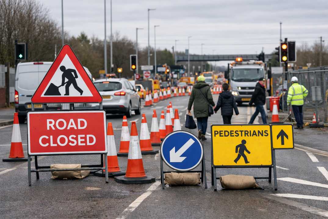
Road infrastructure is constantly evolving due to traffic loads, weather conditions, drainage issues, and material ageing. Without continuous monitoring, deterioration is often detected only when problems become visible or citizens raise complaints.
This reactive approach leads to:
• higher emergency repair costs
• increased road safety risks
• inefficient use of maintenance budgets
• incomplete asset inventories
• reduced infrastructure lifespan
Digital inspection systems such as AI-powered road network monitoring platforms enable authorities to monitor road conditions continuously and build accurate infrastructure databases.
The Indian Roads Congress (IRC) provides engineering guidelines that define how road infrastructure should be designed, inspected, and maintained.
Standards such as IRC:37 define pavement design and performance evaluation parameters, including:
• crack propagation limits
• rutting thresholds
• surface distress classification
Codes such as IRC:82 and IRC:SP-16 describe methods for evaluating road surface conditions using:
• visual distress surveys
• pavement roughness measurements
• Pavement Condition Index (PCI) calculations
Inspection tools such as AI-powered pavement condition intelligence platforms help automate these evaluations.
IRC:67 establishes requirements for:
• traffic sign visibility
• retro-reflective performance
• proper sign placement and orientation
Monitoring systems such as AI-powered roadside infrastructure inventory platforms help maintain digital inventories of these assets.
Standards such as IRC:SP-55 and IRC:SP-88 define structured road safety inspection procedures and risk assessment methods.
Automated inspection technologies make it easier for agencies to implement these standards consistently.
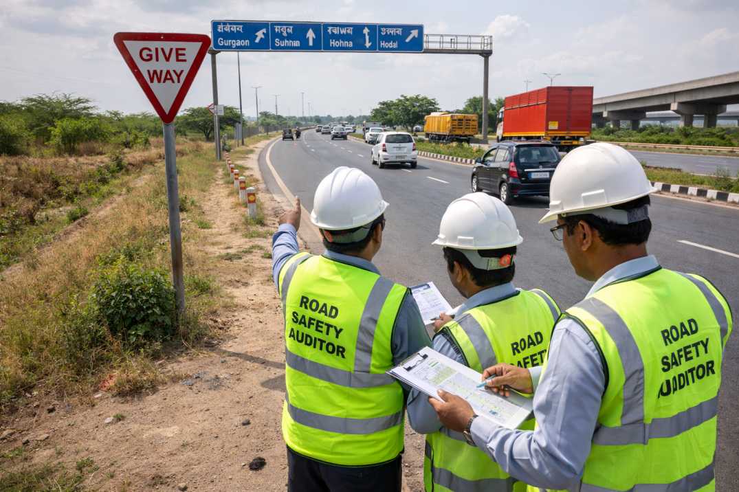
Modern road asset management relies on combining spatial intelligence with automated inspection technologies.
A fundamental best practice is maintaining an accurate digital inventory of road assets.
AI inspection systems capture imagery using vehicle-mounted cameras or mobile devices and automatically identify assets such as pavements, signage, medians, and barriers.
This data is mapped spatially to create a digital twin of the road network.
Impact
• centralized infrastructure database
• accurate asset location tracking
• improved planning coordination
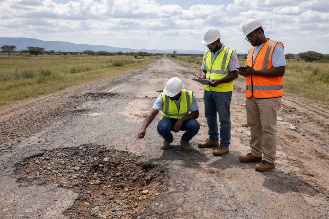
Traditional condition surveys rely heavily on manual visual inspections.
AI systems can automatically detect pavement defects including:
• cracks
• potholes
• ravelling
• rutting
• edge failures
Technologies such as AI-powered rapid road damage detection systems identify these issues quickly and consistently.
Impact
• standardized condition scoring
• objective and repeatable evaluations
• faster inspection cycles
Predictive maintenance is a critical component of lifecycle planning.
AI models analyse historical deterioration patterns, traffic loads, and environmental factors to forecast future pavement conditions.
Impact
• proactive maintenance planning
• fewer emergency repairs
• optimized infrastructure budgets
GIS platforms enable engineers to visualize road assets and defects spatially.
Infrastructure issues are mapped as layers showing pavement distress, traffic density, and environmental factors.
Impact
• improved infrastructure decision-making
• precise maintenance targeting
• better resource allocation
Ensuring quality control during infrastructure projects is another key lifecycle management task.
AI platforms compare pre-repair and post-repair imagery to verify whether maintenance work meets required standards.
Impact
• transparent contractor evaluation
• improved repair quality
• reliable audit records
Even with advanced technologies, several systemic challenges remain.
Municipal teams may require training to operate digital asset management platforms effectively.
Infrastructure departments often manage extensive road networks with limited financial resources.
Different departments may store infrastructure data across separate platforms, creating coordination challenges.
Growing cities continuously add new road corridors, increasing monitoring demands.
Transitioning from traditional manual processes to digital infrastructure management requires organisational change.
AI-powered systems help address these challenges by simplifying workflows and automating inspection processes.
Road asset lifecycle planning is undergoing a major transformation as cities adopt digital infrastructure management tools. By combining GIS mapping with artificial intelligence, road authorities can monitor infrastructure conditions continuously, predict deterioration patterns, and allocate maintenance resources more efficiently.
These technologies allow municipalities to move beyond reactive repairs toward proactive and predictive asset management strategies. The result is safer roads, longer infrastructure lifespans, and better use of public funds.
Platforms such as RoadVision AI integrate computer vision, predictive analytics, GIS visualisation, and digital twin modelling into a single unified system—helping municipalities build smarter, safer, and more resilient transportation networks.
As infrastructure demands continue to grow, adopting intelligent lifecycle planning solutions will become essential for ensuring sustainable road development and improved urban mobility.
A GIS-based road management system maps and monitors road assets using geographic data. Combined with tools like RoadVision AI, it enables smarter asset tracking and planning.
AI improves road lifecycle planning by automating inspections, scoring road conditions, and predicting deterioration. Tools like RoadVision AI make maintenance more efficient and cost-effective.
RoadVision AI helps municipalities reduce inspection time, forecast repairs, improve budget planning, and maintain accurate digital inventories for all road assets.

The Autonomous Road Engineer
AI that is transforming road infrastructure, from reactive to predictive.